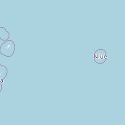


 A light earthquake with magnitude 4.5 (ml/mb) was reported 66 kilometers (41 miles) from Neiafu in Tonga on Saturday. All ids that are associated to the event: us6000pix4. Unique identifier: us6000pix4. Exact location of event, depth 56.095 km, -173.8921° West, -19.2463° South. A tsunami warning has not been issued (Does not indicate if a tsunami actually did or will exist). Exact time and date of event in UTC/GMT: 28/12/24 / 2024-12-28 16:05:08 / December 28, 2024 @ 4:05 pm. The temblor was detected at 16:05:08 / 4:05 pm (local time epicenter). The earthquake occurred at a depth of 56.095 km (35 miles).
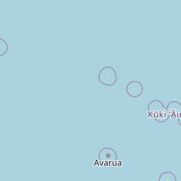
Nearby country/countries, Tonga (c. 123 000 pop) (That might be effected). Epicenter of the event was 67 km (42 miles) from Neiafu (c. 4 300 pop), 80 km (49 miles) from Pangai (c. 1 700 pop). Nearest cities/city/towns to hypocenter/epicentrum was Pangai, Neiafu (min 5000 pop).
In the past 24 hours, there have been three, in the last 10 days five, in the past 30 days nine and in the last 365 days thirty-four earthquakes of magnitude 3.0 or greater that has struck near. Each year there are an estimated 13,000 light earthquakes in the world. Earthquakes 4.0 to 5.0 are often felt, but only causes minor damage.
Did you feel the quake?
What was your situation during the earthquake? Leave a comment or report about damage, shaking and activity at your home, city and country. Read more about the earthquake, Distances, Seismometer information, Date-Time, Parameters, Location and details about this quake, that has struck: 66 km S of Neiafu, Tonga. This data comes from the USGS Earthquake Notification Service.
Copyright © 2025 earthquakenewstoday.com All rights reserved.
Leave a Reply